Local guide · Atlantic coast and a young volcanic island
Author: Casa Aram Published: Last updated:
Although La Palma’s black beaches and lava flows share a volcanic origin, each visit requires separate checks on access, sea conditions and protection rules for the terrain.
Before choosing a beach, check how it is reached and the current sea conditions. Some beaches require a walk, others have seasonal sand, and exposed Atlantic shores can have strong waves or currents even in good weather.
Volcanic areas also have different visiting conditions. Fuencaliente has visitor centres and designated sites around historic eruptions, while access near the cone formed in 2021 is permitted only as part of a guided visit with an authorised operator. Plan each visit according to the current access rules.
Practical distances from Casa Aram
Road distances and driving times are approximate. Roads in this part of La Palma include narrow, mountain sections, so traffic, parking, weather or possible closures can affect journey times.
Parking for Playa de la Veta
Approx. 10 km · 20 min by car
Open routeEl Paso, as a reference point for visiting Tajogaite
Approx. 27 km · 35 min by car
Open routeSan Antonio Volcano Visitor Centre
Approx. 38 km · 50 min by car
Open routeNogales Beach access
Approx. 58 km · 70 min by car
Open routeLa Veta: a seasonal beach below the cliffs
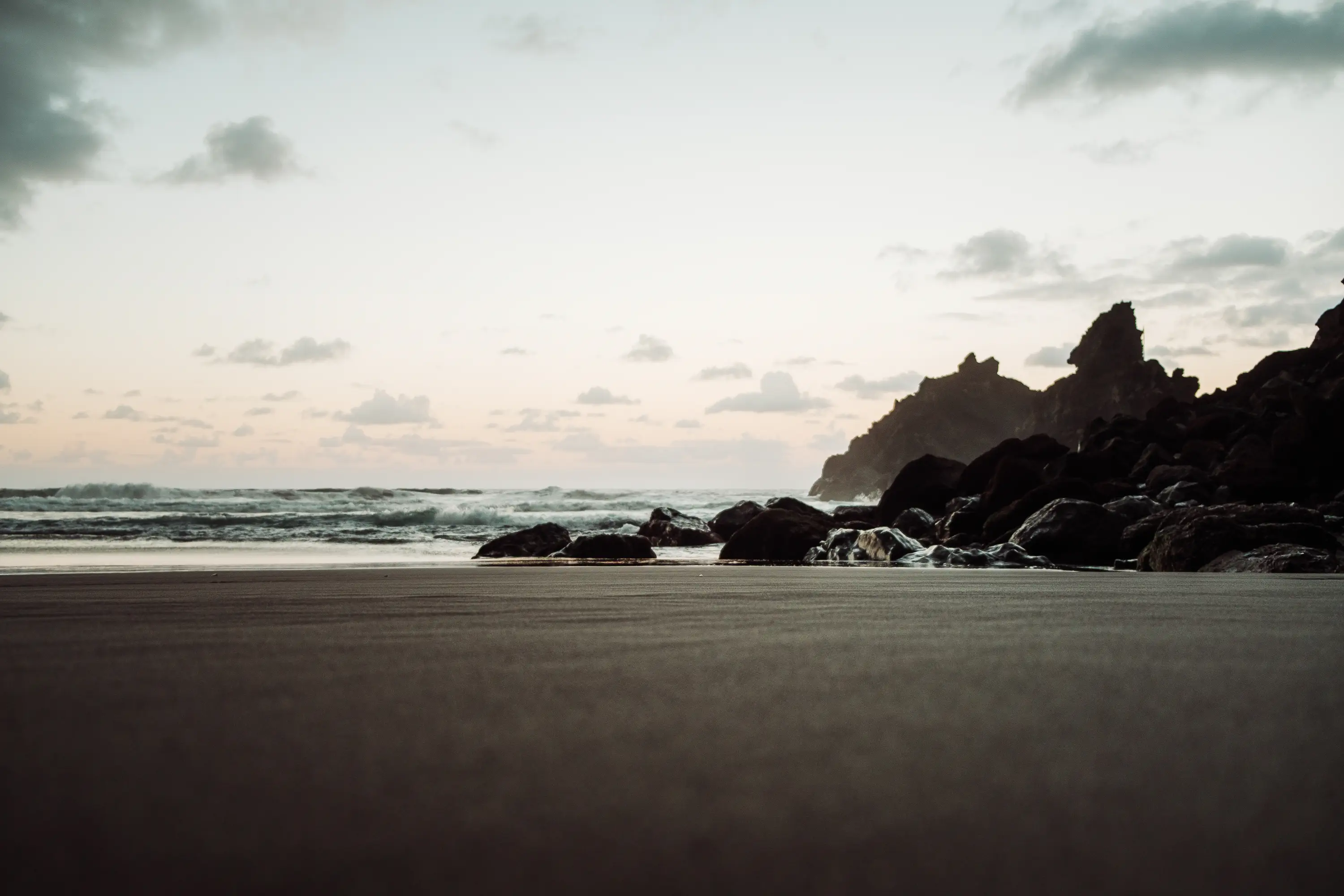
The official tourism page describes La Veta in Tijarafe as a seasonal black-sand beach: the sand begins to accumulate in spring and reaches its greatest extent in summer. From the car park, a steep footpath leads to the beach, its caves and small buildings.
There is no lifeguard. Even if the sea is unsuitable for bathing, the path and landscape may still make the visit worthwhile. Take everything away with you and keep the space around local huts and access points clear.
- Check sea conditions before descending and allow enough time and energy for the steep walk back up.
- Seasonal sand means the beach may not look like a photograph taken in another month.
Nogales: a wild beach that demands caution
Nogales lies in Puntallana beneath a high cliff, where green slopes, dark volcanic sand and the Atlantic meet. The official listing notes parking and pedestrian access, but also explicitly warns about strong surf and the need for caution when bathing.
Strong surf is a common condition that must be taken seriously. Nogales is still worth visiting for the scenery and the walk when entering the water would be unwise. Never judge safety from photographs, surfers or the presence of other visitors.
- Respect warning signs and choose a more sheltered official bathing area when necessary.
- Keep away from the cliff edge and stay on the marked access path.
Tajogaite: visit the newest landscape only with authorised access
The 2021 eruption transformed the Aridane Valley and created Spain’s youngest volcanic terrain. Official La Palma tourism information states that the path approaching the new cone may be visited only as part of a guided tour with an authorised operator.
This restriction helps protect visitors, scientific work, recovering land and affected communities. Use official viewpoints or an authorised guided visit; do not follow informal tracks across the lava or enter closed areas for a closer photograph.
- You can observe the landscape from the viewpoints; approaching the cone requires an authorised visit.
- Respect the privacy and property of affected communities: do not enter homes or farms, and do not stop on access roads.
Fuencaliente: traces of several eruptions in one landscape
At the southern end of La Palma, Fuencaliente brings together the San Antonio and Teneguía volcanoes, the lighthouses and salt flats, and beaches shaped by lava. Official tourism information records that Echentive Beach formed during the 1971 Teneguía eruption.
The San Antonio Visitor Centre and the designated visitor areas near the lighthouse help explain the volcanic history without requiring visitors to leave authorised areas. If you want to complete the full Ruta de los Volcanes, plan it as a separate, demanding hike.
- Do not combine a short visitor-centre stop with a long volcanic trail unless you plan the time and equipment for each separately.
- Do not remove stones, enter closed lava areas or build cairns.
Plan with context, not just a checklist
- Before choosing a beach, check that day’s sea and weather information.
- Take footwear suitable for the access paths, not only beach sandals.
- Use authorised operators where access rules require them.
- Leave sand, stones and plants in place and take all your waste away.