Local guide · Trails, summit and observatory
Author: Casa Aram Published: Last updated:
Visiting the summit viewpoint, hiking a high-mountain trail and entering the observatory are three different plans. Decide which one you intend to do, because each requires different preparation.
La Palma’s official network includes historic coastal paths, routes through mid-elevation settlements and demanding high-mountain stages. The GR 130 passes through Tijarafe, while the GR 131 reaches Roque de los Muchachos in stages of varying difficulty and physical demand.
Choose your route using current official information, not a photograph or an old travel account. Weather, wildfire risk, maintenance work and trail closures can alter even a familiar plan. Check the links at the end of this guide immediately before setting out.
Practical distances from Casa Aram
Road distances and driving times are approximate. Roads in this part of La Palma include narrow, mountain sections, so traffic, parking, weather or possible closures can affect journey times.
Tijarafe town centre, as a reference point for local trails
Approx. 5 km · 10 min by car
Open routeRoque de los Muchachos Visitor Centre
Approx. 38 km · 55 min by car
Open routeRoque de los Muchachos summit viewpoint
Approx. 42 km · 65 min by car
Open routeMatch the route to the group
Local paths around Tijarafe reveal ravines, farms and old connections between the village and coast. High-mountain routes expose the group to altitude, sun, wind and long sections with little shelter. Being marked does not mean that both types of route have the same difficulty.
The official La Palma trail network publishes the classification and details of each route. Read the full route information, including elevation gain and loss, terrain and return arrangements. If it exceeds the group’s experience or fitness, choose a shorter signed walk or a viewpoint visit.
- Plan for the experience and fitness of the least prepared person in the group.
- Turn around when conditions deteriorate; reaching the planned destination is never more important than returning safely.
The viewpoint is in a high-mountain environment
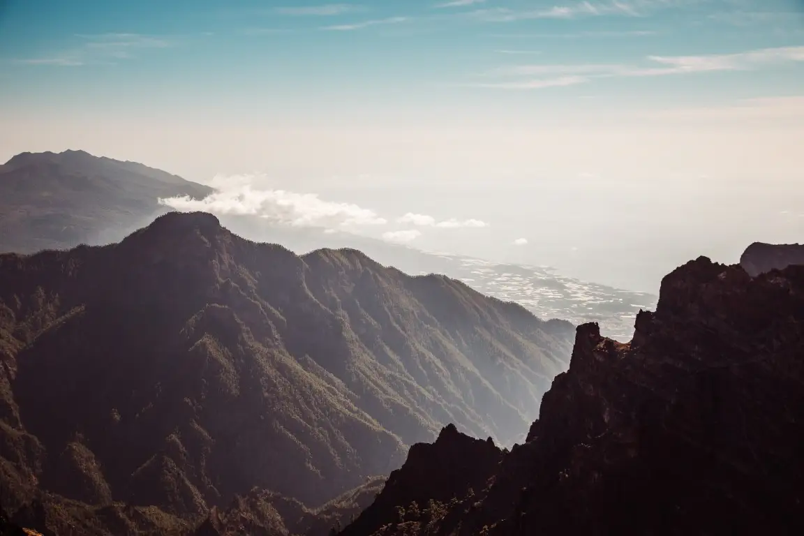
The official tourism site places the Roque de los Muchachos viewpoint at 2,426 metres, on the rim of the Caldera de Taburiente National Park. From the designated visitor area, visitors can appreciate the scale of the caldera and, when conditions are suitable, walk a section of the GR 131.
Even a short walk here requires suitable footwear, water and sun protection. At the summit it can be much colder and windier than on the coast. Stay on the signed paths: leaving them damages a fragile environment and may take you close to steep drops.
- Do not use a clear coastal sky as a forecast for the summit.
- Anyone with a medical condition that may be affected by altitude should seek medical advice before travelling up.
An observatory tour requires a reservation
The Roque de los Muchachos Observatory is an active international scientific facility managed by the Instituto de Astrofísica de Canarias. Daytime tours for individual visitors are led by accredited Starlight guides and must be booked through the official system.
Even a confirmed tour may be changed or cancelled because telescope operations and weather conditions take priority. Follow the guide’s safety instructions and do not confuse access to the public viewpoint with entry to the observatory buildings.
- Use the Visitor Centre for official information, and book tours only through the authorised channels listed by the IAC.
- Check the meeting-point instructions and any alerts or changes before leaving.
Make the final decision on the day
The IAC advises visitors to review AEMET warnings, Canary Islands alerts and road status before driving up. For a walk, also check the official trail network for any closures or restrictions.
Carry water, food appropriate to the route, sun protection and a warm layer, and turn back in good time if conditions change. Take all waste away, do not feed wildlife, and never build cairns or remove geological material.
Plan with context, not just a checklist
- Decide first whether you will visit the viewpoint, follow a signed trail or attend a pre-booked observatory tour.
- Check trail status, roads, weather and alerts again on the same day.
- Take suitable mountain equipment and have a lower-altitude alternative ready.
- Respect closures even if you see other people continuing beyond them.