Local guide · A local orientation guide
Author: Casa Aram Published: Last updated:
Tijarafe is much more than a stop on the way north. Here, a small historic centre, cultivated slopes, deep ravines, pine forest and a coast of great cliffs come together. It is one of those places in La Palma that is worth discovering without rushing.
Casa Aram is in Tijarafe, in north-western La Palma. The municipality stretches from the Atlantic coast to the mid-elevation areas and the pine forest and highlands. Agriculture remains very present in the landscape, with banana plantations, avocado trees and vineyards spread across the slopes.
To get to know Tijarafe better, it is worth combining a walk through the historic centre with one of its viewpoints and a visit to the coast. There is no need to try to see everything in a single day. Choose one area, leave some room in your schedule and enjoy the journey at an unhurried pace.
The aim is not to collect stops, but to discover the relationship between the village, its paths, its ravines and the sea.
Practical distances from Casa Aram
Road distances and driving times are approximate. Roads in this part of La Palma include narrow, mountain sections, so traffic, parking, weather or possible closures can affect journey times.
Historic centre of Tijarafe
Approx. 5 km · 10 min by car
Open routePorís de Candelaria
Approx. 9 km · 15 min by car
Open routeMirador El Time
Approx. 4 km · 20 min by car
Open routeStart with the historic centre of Tijarafe
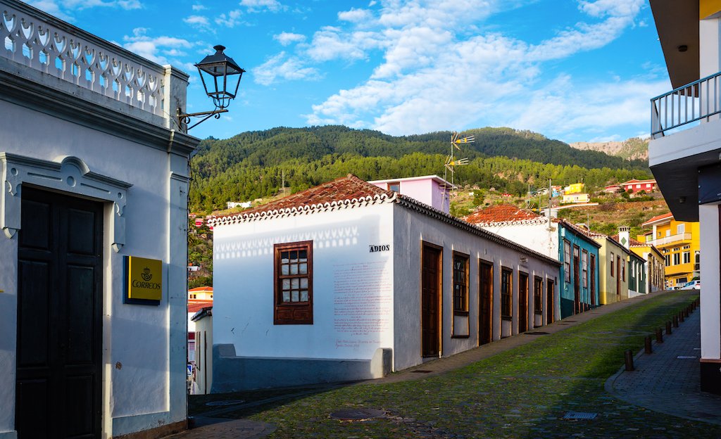
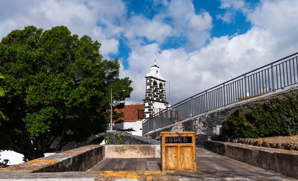
The centre of Tijarafe developed around the church of Nuestra Señora de Candelaria. Very nearby is Calle del Adiós, where you can read verses by Cuban poet Dulce María Loynaz.
Barranco del Jurado separates the village from the El Jesús neighbourhood and, beside the ravine, stands the Ermita del Buen Jesús, protected as a Site of Cultural Interest.
Beyond individual buildings, it is worth noticing the streets, terraces and cultivated plots. The landscape helps explain how the village has adapted over generations to terrain shaped by slopes, ravines and the availability of water.
Walking through the historic centre first is also a good way to find your bearings before continuing to the viewpoints or the coast.
- Remember that churches, streets and neighbourhoods are part of the municipality’s everyday life.
- Use designated viewpoints and paths, and avoid entering farms or private tracks.
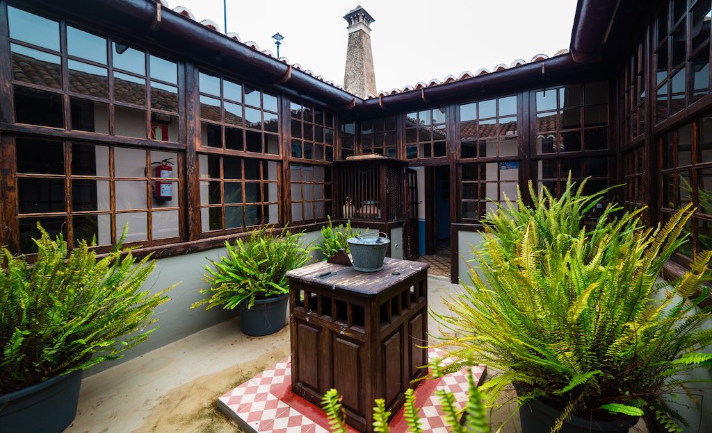
Porís de Candelaria and the Tijarafe coast
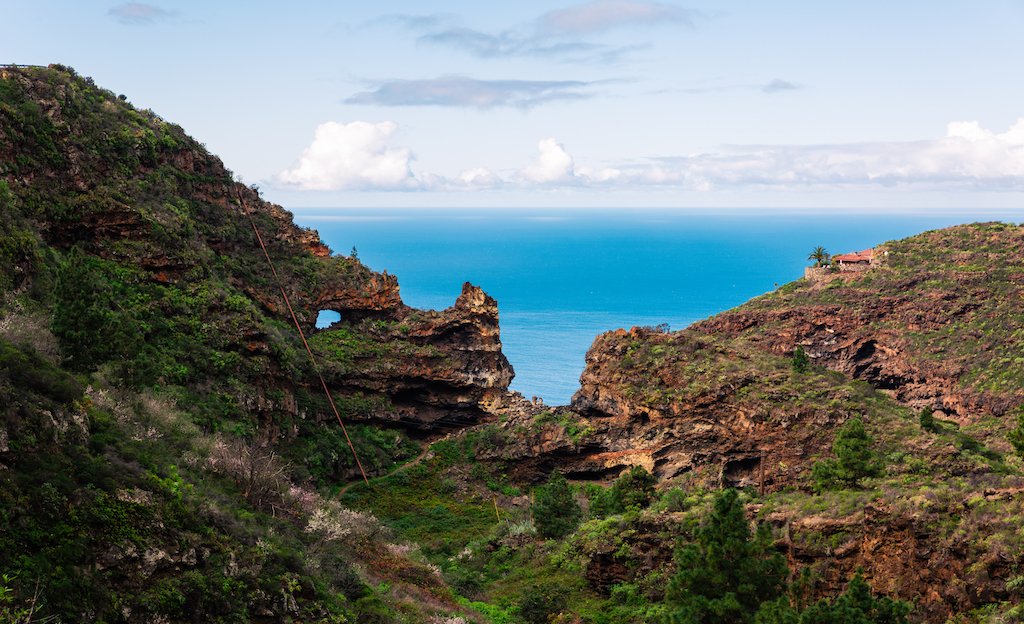
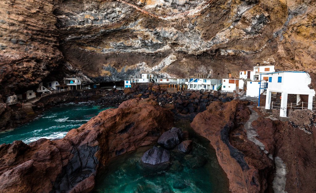
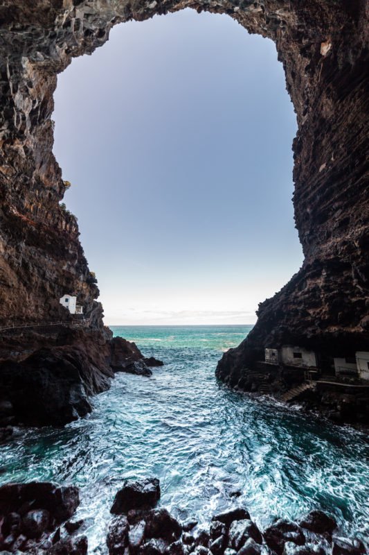
Porís de Candelaria is one of Tijarafe’s most distinctive places. Its houses sit beneath a huge natural cavity open to the Atlantic, at the foot of the cliff.
Before roads made travel by land easier, this place served as a landing place for fishing, trade and transport. The caves and buildings that remain by the sea now form one of the most recognisable landscapes on La Palma’s west coast.
Porís is still a residential place and a summer retreat. If you visit, respect the homes, doorways, boats and private access points.
If you plan to swim, check sea conditions first. The Atlantic can look calm from above and change greatly by the time you reach the coast.
- Respect homes and private access points.
- Do not block the way with your car.
- Check sea conditions before entering the water.
Choose the viewpoint according to the landscape you want to see
The viewpoints in this part of La Palma offer very different perspectives.
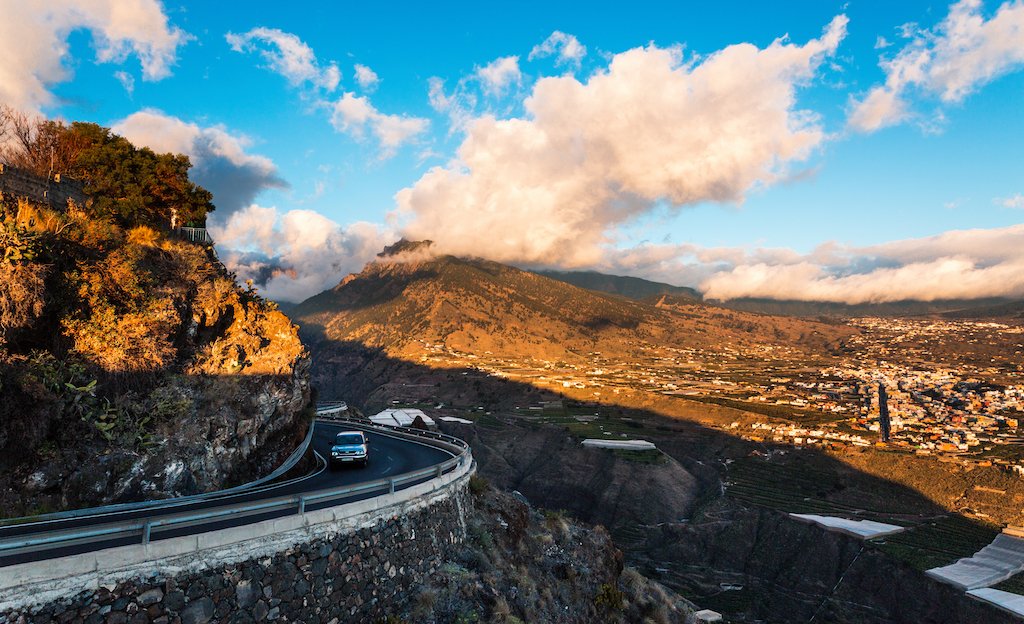
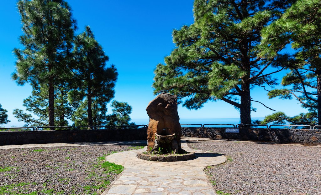
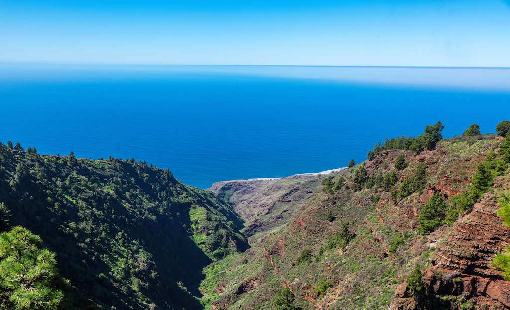
Mirador El Time opens onto Barranco de las Angustias, the Aridane Valley and the western coast. Mirador del Jurado lets you look over the protected ravine and its mouth, while Garome offers another view of the western landscape and the boundary with Puntagorda.
There is no need to visit every viewpoint in a single day. Choose one or two according to your planned route and the visibility conditions that day.
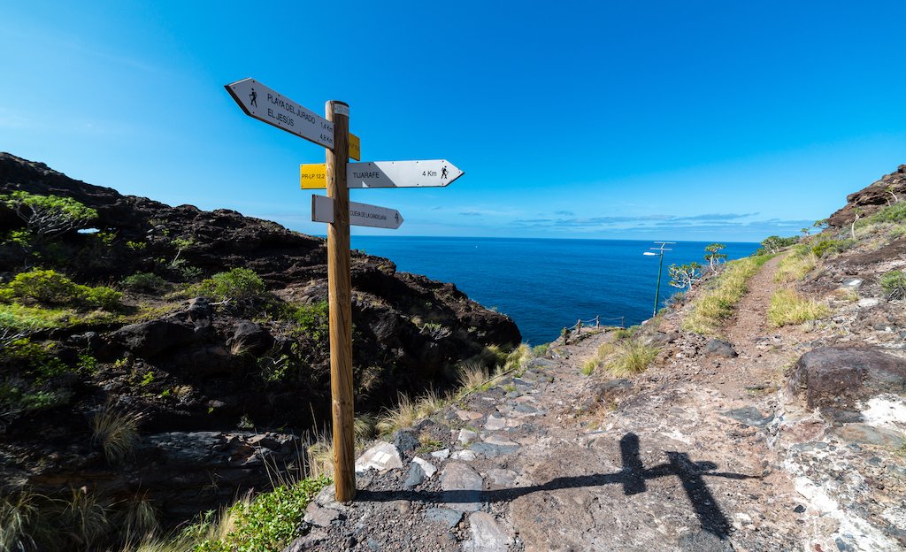
Some viewpoints also connect with trails. If you decide to continue on foot, check the route’s condition, difficulty and how to return to the starting point beforehand.
- When visibility is poor, it may be better to spend more time in the historic centre or in other, lower places.
- Having one coastal option and another inland helps you adapt the day to the weather.
A relaxed day in Tijarafe
One good option is to combine the historic centre with one of the nearby viewpoints. Another is to spend more time on the coast, visit Porís de Candelaria and return at an easy pace through the mid-elevation countryside.
In La Palma, distances on a map can be misleading. Mountain roads mean that trying to visit too many places in one day is not always the best option.
Stopping at the municipality’s shops, restaurants or cafés is also a way to get to know Tijarafe better and contribute to the local economy.
Keep your itinerary flexible. That way, you can spend more time somewhere you particularly enjoy or change plans if weather conditions vary.
Plan with context, not just a checklist
- Check official notices about roads, the coast and trails if you plan to do a route.
- Take water and sun protection.
- A light extra layer can be useful even when the weather by the sea is fine.
- A car is very practical for exploring this part of La Palma, but some roads are narrow and parking can be limited.
- Respect private property and signed areas.
- Do not collect stones, plants or items of natural or cultural value.
- Always take your waste away with you.